 May 24, 2009
We woke this morning to 39 degrees and fog. Since we did have free electricity, the little quiet electric heater set to 60 degrees kept things just nice and comfortable. It turned out to be a perfect day. Yes, we had bacon and eggs… again. Back to oats and yogurt and life cereal when I get back to regular life at home. I did promise myself that when regular life becomes long days on the road camping I probably won’t have bacon and eggs every morning. Have to draw a line somewhere.
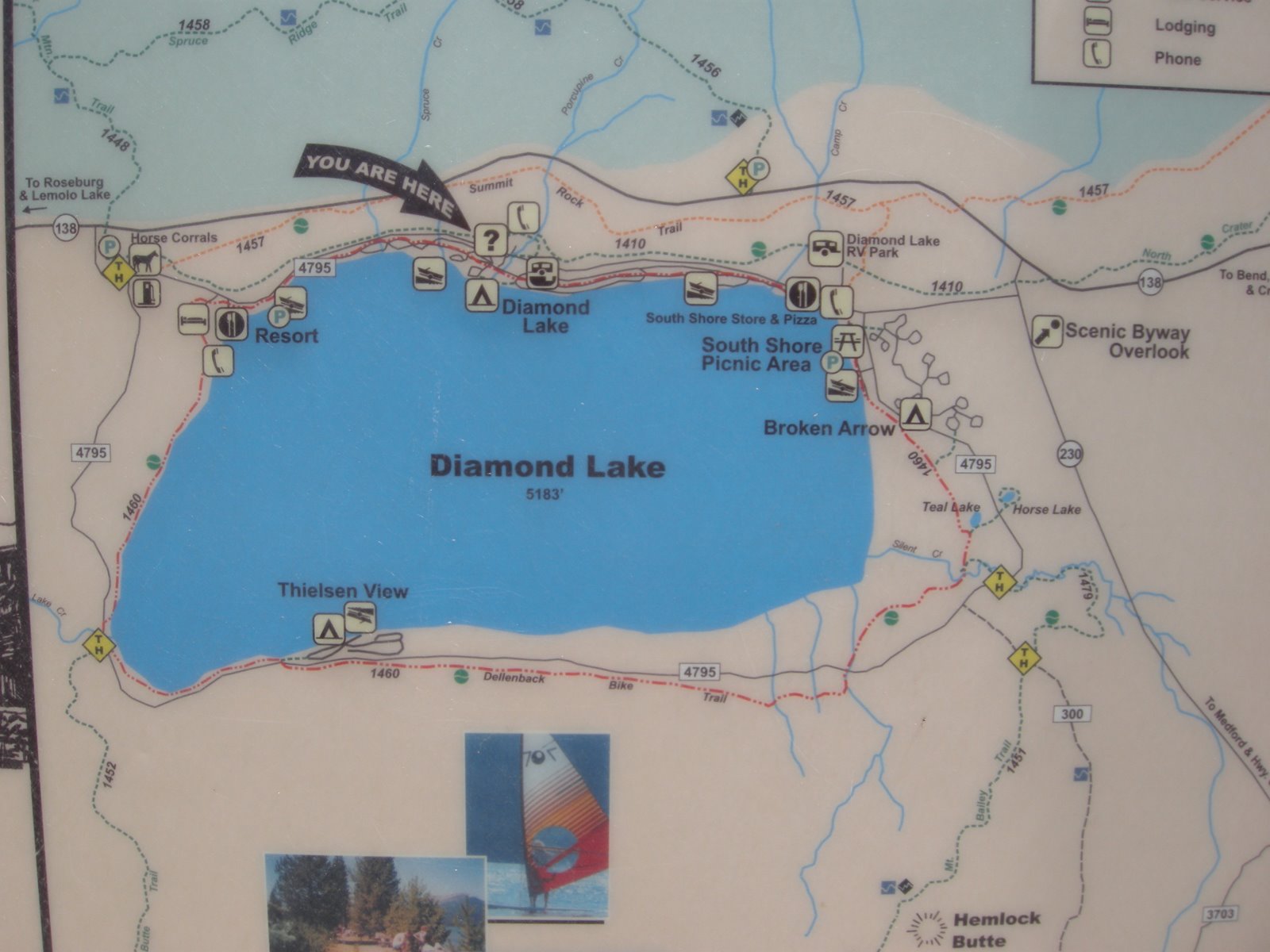
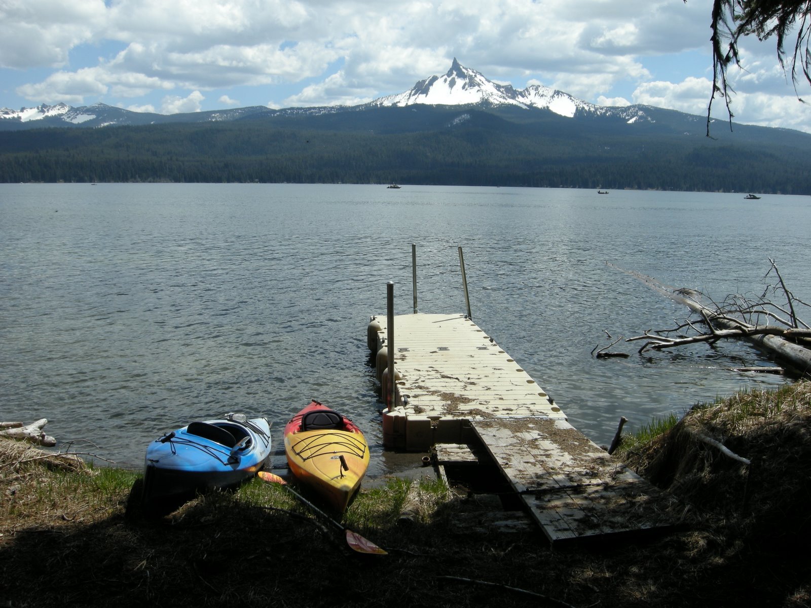
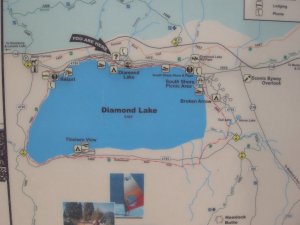
After breakfast we decided that maybe kayaking in the morning would be better, and drove to the south shore of the lake and found a put-in spot just south of the Diamond Lake campground. It was cool so we parked in the shade and let Abby wait in the car this time. Kayaking with a restless dog is ok sometimes, but not for the long ride we looked forward to this morning.
 The Diamond Lake story is an interesting one. It is a lake famous for its trout fishery, but in 2006, due to an invasion by chubs, the lake was nearly ruined. After much controversy, they killed all the fish in the lake with rotenone, and then completely restocked it. The story is here. It really worked well. The water is crystal clear, and the fishing is fabulous.
We headed along the southern shore of the lake, to the west side, where we found docks for a large number of summer cabins leased by the forest service. It has been done well, though, because the cabins are set back away from the shore and not at all visible around the lake. The FS used to lease these properties for 99 for a lifetime, and people have built really nice homes in many of these lake front areas. Just recently the FS has increased the fees on these places to something in the neighborhood of 6000 a year, and that is just on the property, not the houses which have a separate property tax. Big problem for people who have had these homes for many years. Gee, you think with all that new money they could open up the campgrounds??
 We went almost to Theilsen View campground before turning to cross the lake toward the east side again. I found out later that the lake has limited boat speed of 10MPH, and that makes for some wonderful kayaking. Even on this holiday weekend, and with all the fishing boats out there, there weren’t any skiers or fast boats to contend with. We could kayak directly across the middle of the lake without feeling fearful of being demolished by a big speedboat. Back on the east side, we pulled out, and let Abby out for a swim. The weather was perfect, just cool enough to be nice, but warm in the sun, with big puffy clouds and clear blue skies in between.
We were on the water about 3 hours and traveled about 9 miles or so. It is 11 miles around the lake but we skipped out on the north side since we had covered that part yesterday.
Home for a late lunch around 2, a bit of a rest, and then time to try the biking thing with Abby again. The trail around the lake is really amazing, so we decided to try it from this end of the lake along the east shore. It was a bit of a challenge this time, because Abby was all excited and wasn’t quite as easy to manage on the bike, but after a bit she settled down and is getting the hang of leading ahead of the bike without pulling. Sometimes she would get excited and think about chasing a squirrel or something, but overall she was good. We biked a couple of hours, enjoying especially the quieter parts of the trail where the campground was still closed. In spite of Abby’s new skills accompanying the bikes, my shoulders were pretty sore from trying to hold on to the handle bars and the dog as well. Hopefully it will get better as time goes on. The other thing that gets a bit dicey is coming upon other dogs in the biking situation, especially if they are not leashed. But so far, no real problems. When we finally did ride up to the MoHo it was with a bit of relief and both of us were pretty happy to be settling in for a campfire, a couple of brats and buns, and a nice evening.
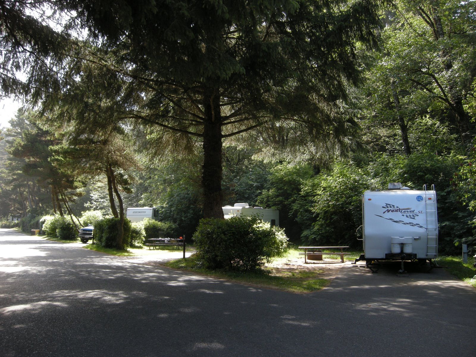
 Many of the people who were here have left, and it’s really empty now in our free camping spot. Since the free camping was just a fluke, the sites in the southern half of the campground look really nice, if they ever open it up. At 14 per night and 18 for a premium spot, with our half price pass, it isn’t too bad. We will come back later in the summer to see just how crowded things may be when it warms up, and how bad the mosquitoes might be as well. Amazing, this time there wasn’t a single one to bother us. Decided that you just can’t beat this place, less than 2 hours from home, clean water, huge firs, great bike trail, no fast boats, and incredible gorgeous views in all directions of amazing mountains.
After packing up to leave, we opted for breakfast at the Diamond Lake Resort cafe, with a great view of the lake. The resort is quite nice, with motel rooms, cabins, a marina with lots of rental water craft, and a well stocked little store, and a couple of restaurants.
We dumped at the Diamond Lake Campground (for FS campers only or there is a fee), and headed home via Hwy 138 west to Hwy 230 toward Medford, turning back east at the Crater Lake Highway 62. The north rim road at Crater Lake is still closed due to snow, and it is a steep, curvy climb that may have been a bit more challenging. Highway 62 crosses the beautiful Wood River Valley, a sight not to be missed if you are traveling anywhere near Crater Lake. It is ranching country with grass so thick and lush that it can support a cow and calf on less than 2 acres. The Wood River Valley is north of the Klamath National Wildlife Refuge, all just minutes away from Mo’s home.

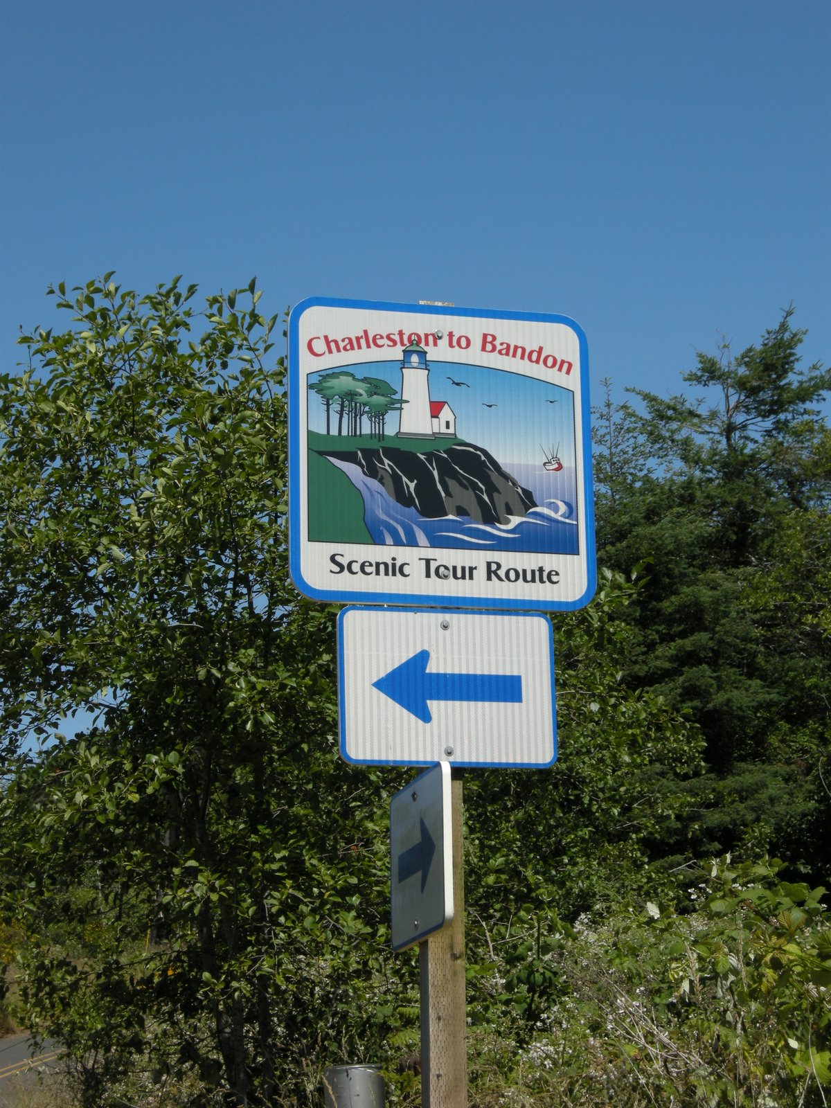
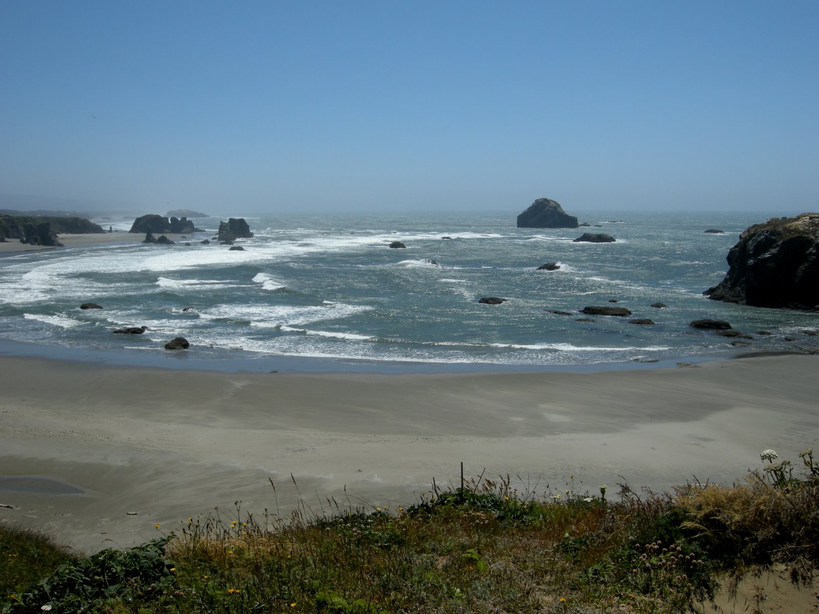
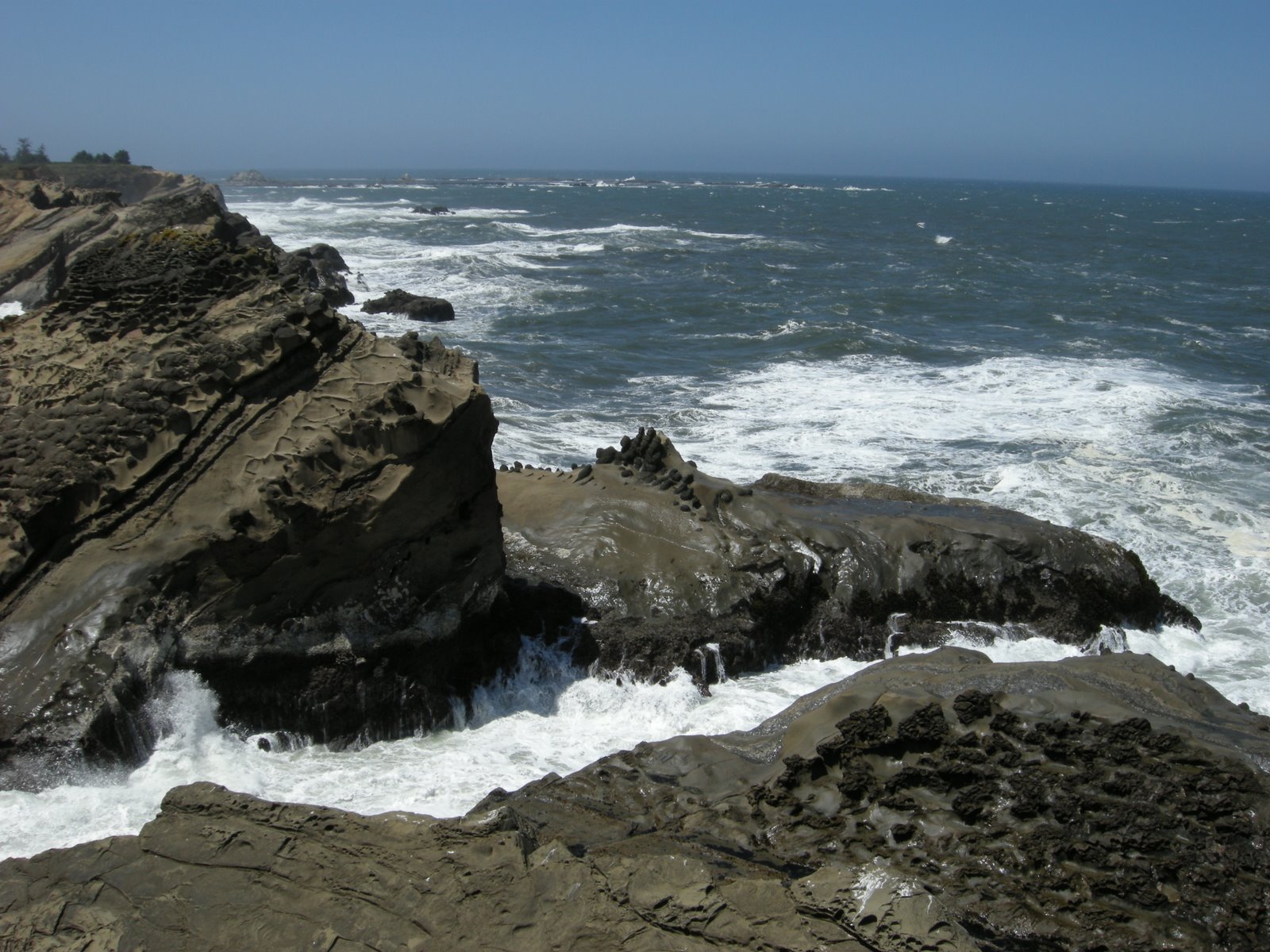
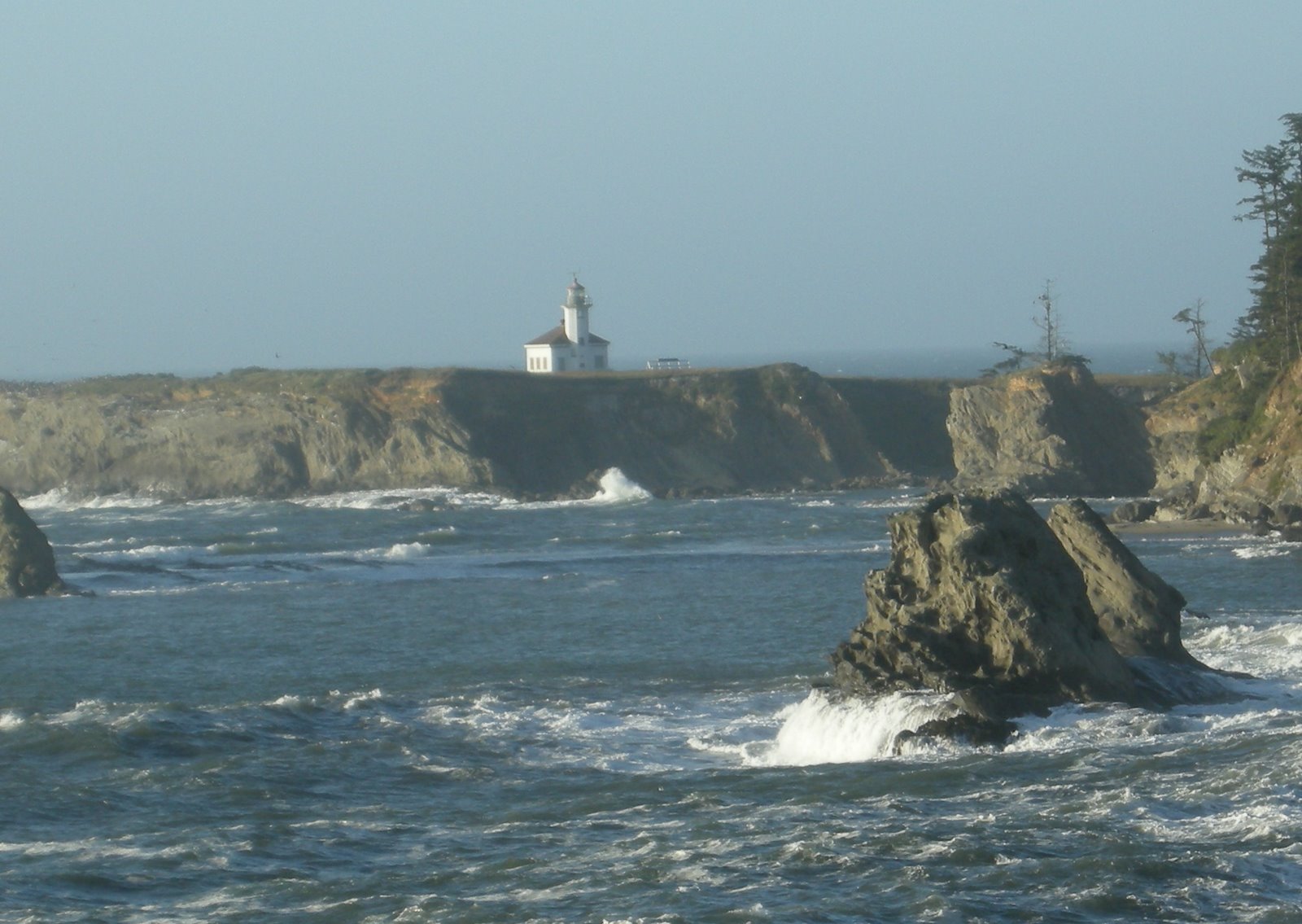
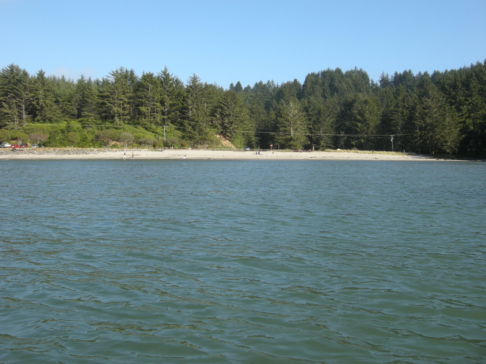
 We love byways and backways. You can find all sorts of information about these amazing beautiful highways on the internet, in fact I even found a national geographic book all about some of the nation’s greatest byways. Today we traveled the Charleston to Bandon byway along the Seven Devils road parallel to the coast, and out to the beach. This loop is part of the Pacific Coast Scenic Byway of Oregon.