Beachside State Park Tuesday Oct 20 to Friday Oct 23


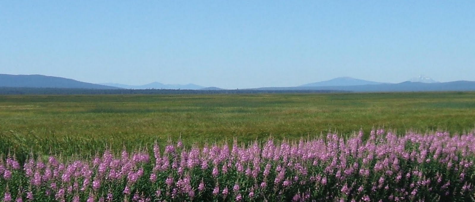
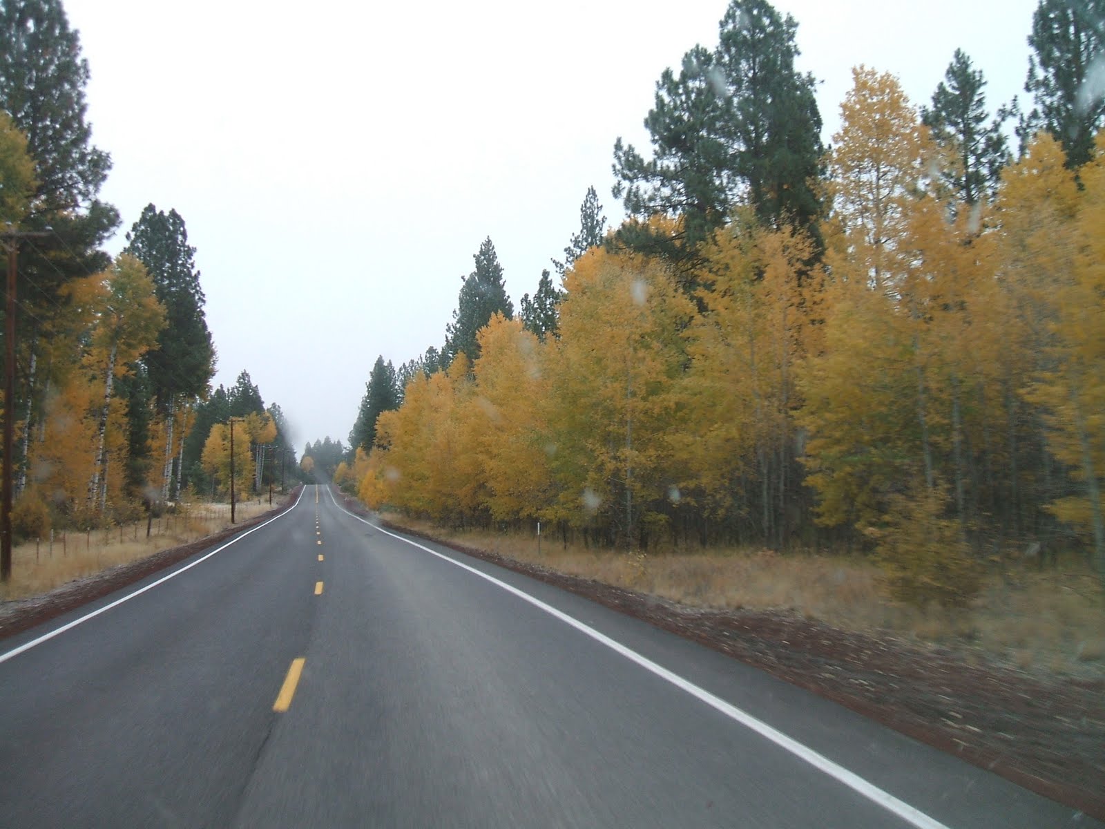
The Oregon coast is beautiful any time of year, although cloudy skies and rain are always a possibility. I (Mo) usually try to spend a few days there in the fall. On Tuesday, October 20, I left (with Abby as my copilot and companion) at 8 am, traveling via Westside Road on the western edge of Recreation Creek and the Upper Klamath Lake National Wildlife Refuge. There was fog all the way from home, along Highway 97 through Chiloquin and Chemult to Highway 58, and over the Cascades. I took a few photos through the windshield of the fog and brilliant colors of turning leaves.

The entire trip only took 5 pleasant hours of driving. At Eugene, I traveled west along Highway 136 to Florence, and then north to Beachside State Park just a bit south of Waldport. When I arrived in the afternoon, temperatures were in the 60’s. In order to camp for 3 consecutive nights, I had to take one of the only five unreserved campsites available. The campground has a total of 33 electrical sites with no sewer or dump. Ten of those sites are right on the beach, but they were filled. I settled in to a site three rows back, but can still hear the ocean and a walk to the beach is “nothing”.

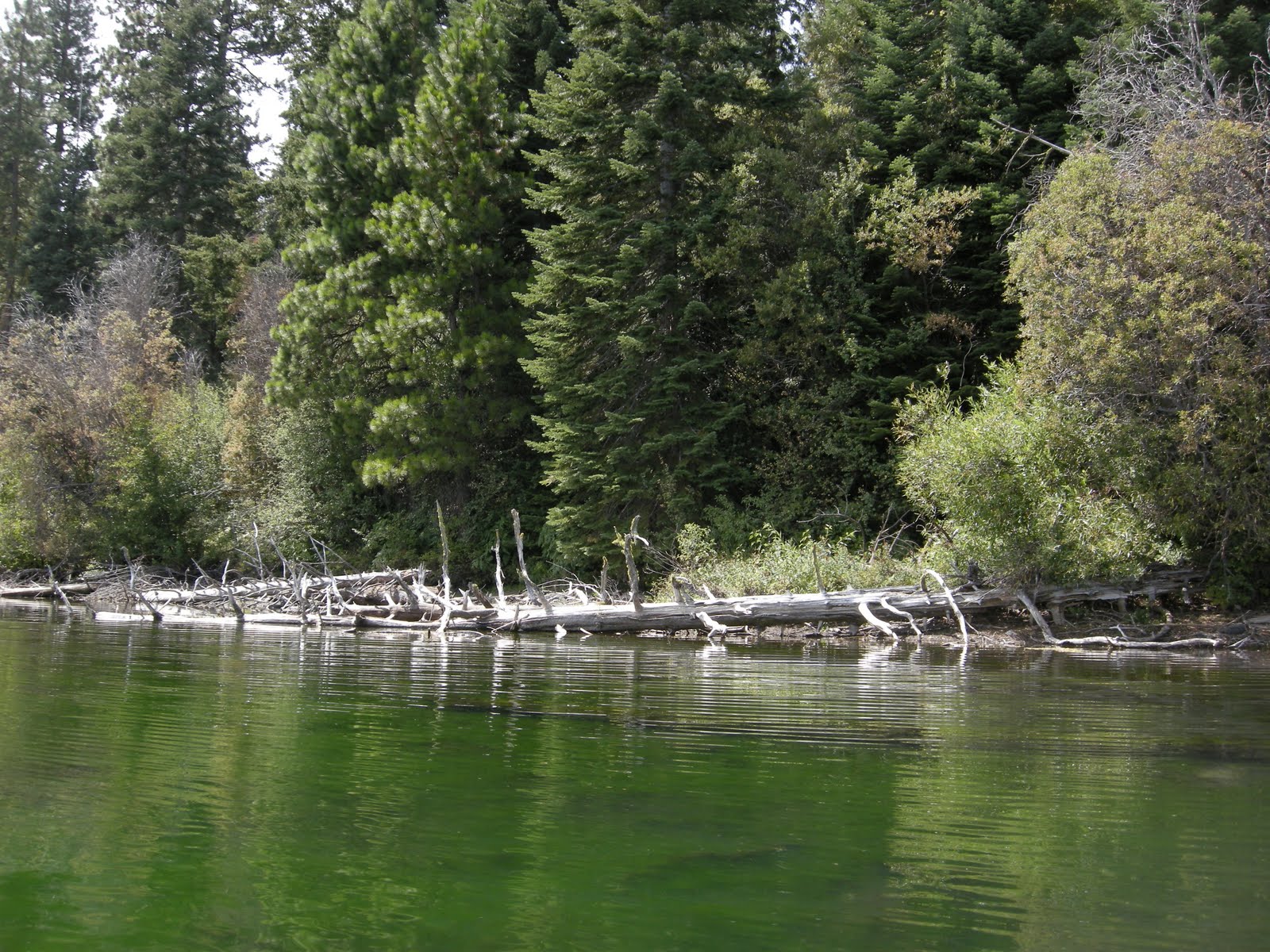
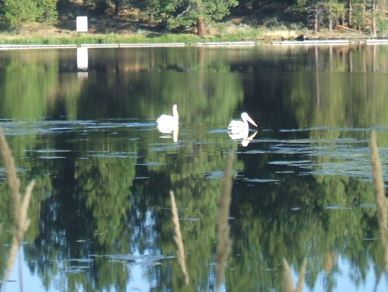
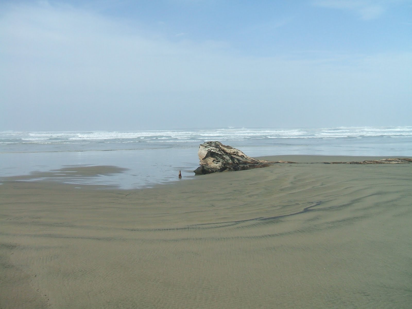
I stayed at the beach until Friday morning. I enjoyed sleeping in until 8am on Wednesday, good for both me and for Abby. My days were spent walking the beach, first toward the north on Wednesday, and then south on Thursday. The beach is long, open, and the sand is packed hard for great walking. There are no shells or rocks, but the waves and birds provide plenty of entertainment.

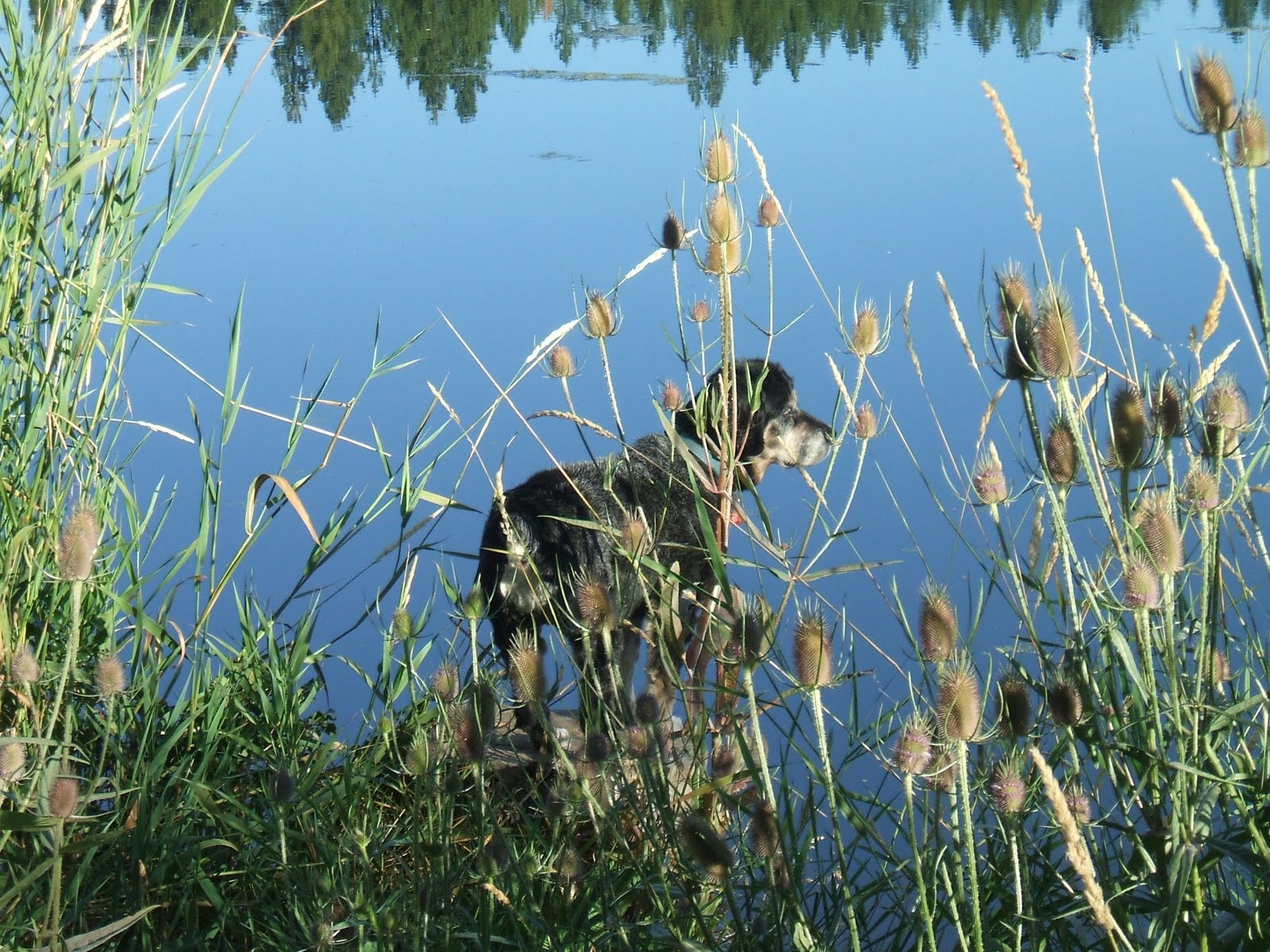
Wednesday was windy and while cloudy in the morning, ended in the warm 60’s by afternoon. I walked, read, and relaxed. Without the “toad” on this trip, my entertainment was all on foot. We walked the campground in the evening where Abby found a tennis ball. She loves to play fetch and often will find a stray ball on our walks. I enjoyed my evening with a hamburger cooked over the outside wood fire and shared a little with Abby.

On Thursday we again walked the beach where Abby found another ball on the return trip. We checked the USFS Tillicum Beach Campground
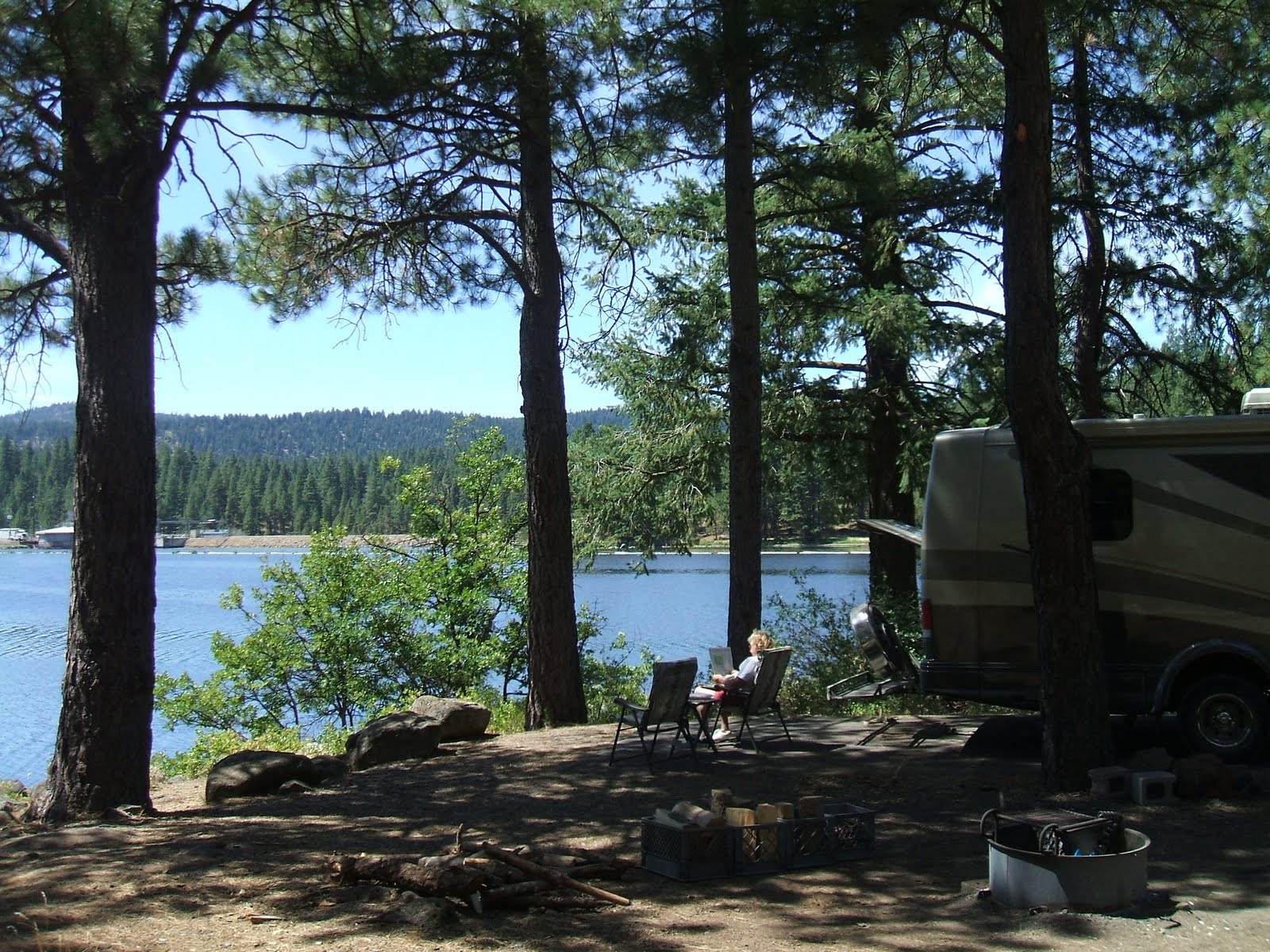
along the way. The campground is high on a bluff along the beach, although you could still hear the ocean and there was easy access to the beach. The cost was listed at $28 per night with electricity, but it would only be $14 with the senior pass. I made a tasty skillet breakfast of eggs, potatoes, and sausage upon my return, and then spent some time reading most of my current book. I walked around the campground again in the evening and noticed that many campers had left that day.

By Friday the rain arrived after wonderful weather all week. Got up at 7:30 am and left the park around 11 am. Traveled Highway 101 south to Reedsport, then Highway 38 to Highway 138 and ended up in Sutherland. Passing the elk reserve along 138, I noticed a great many elk in residence. The last time I drove this route there weren’t any elk visible. It rained throughout the entire route until I reached Sutherland. The Seven Feathers Casino is at Sutherland, and I arrived around 2, stopped in for a bit of time, and paid my dues. Traveling south on I-5 to Medford and then over to HWY 140 home, I stopped in at Costco in Medford for inexpensive gasoline before driving over the mountain. I arrived home around 6 pm, with plans to drive to Klamath the next day to take advantage of the available dump station at Moore Park.

I always enjoy the last October MoHo trip before the snow forces me to put her to bed for the winter. Sometimes late fall rains are part of that trip, however this time the weather was perfect and I was grateful for such a wonderful, relaxing trip.

Kayaking Recreation Creek


I am visiting Mo in Oregon for a few days, and once again, we launched our kayaks on our favorite local canoe trail, part of the Upper Klamath Lake National Wildlife Refuge. It’s less than a mile from home to the launch at Rocky Point, but this time we decided to launch at Malone Spring and travel north to Crystal Spring.

Every season has a different feeling on the refuge, and this was no exception. We realized that it had been awhile since we traveled this route in full summer, and the tules were nearly 10 feet high. The water was lower than we have experienced, and filled with plants, but as usual, crystal clear. This is the kind of waterway that makes kayaking such a treasure. There is really no other way than a kayak or a canoe to really experience this kind of wild land.

The water was still and sweet, and for the first time, the air was still as well. With temperatures in the low 80’s and no winds, it was just about as perfect as kayaking can be on still water with a slight current. Crystal Springs was green and clear and deep, and on the way back down the river the current carried us along with very little effort. We saw two sandhill cranes flying over the marsh, with their unique croaking sounds, and great egrets, white herons, merganser ducks, blackbirds, and willets, and some pelicans cruising in the distance. A highlight was the pair of otters watching us with curiosity from their playground along the banks of the marsh.

Abby finally learned that she can actually relax in the kayak, and I had great fun attempting to video part of the trip with the camera perched on the bill of my cap. Check it out here

Later in the week we again took advantage of the west side of the Upper Refuge. It was nearly 5pm, a little early for supper, so we thought, “why not? let’s go out for a short kayak”. In 10 minutes we were on the water, launching this time from Rocky Point. Even though it wasn’t a weekend, the launch was busy with boats and canoes, fishermen, and kids. The breeze was blowing but we thought heading south into Pelican Bay might be a different trip so we took off and in minutes were out of the congestion.

Pelican Bay is a western arm of Klamath Lake, and Crystal Creek leads north directly into the marsh from this bay. We paddled along the tules, and in spite of the late hour couldn’t resist going just a little bit into the marsh on the creek. Once protected by the tules and carex there was much less wind, and for no reason that we could figure out, in spite of paddling upstream, it felt as though we were being pulled north by an invisible tide. Smooth, quiet, deep water. It’s been a long time since we were on this part of the canoe trail, and we had never done it upstream. Time slid by like the water, and before long we knew that we were going to attempt to go all the way and connect up again with Recreation Creek to the west.

Just a little bit of adrenalin makes everything a bit more fun, because it was getting later, we weren’t sure how far it was to the Wocus Cut, and neither of us wanted to be on the marsh in the dark. Finally we found the Wocus Cut signs, and noticed just how low the water was at this time of year. The cut is about a mile crossing shallow areas of the marsh filled with wocus and open water. What we discovered on this late evening was that the water was barely 4 inches deep. Paddling a mile in shallow water, with our boats sometimes sliding along the silty mucky marsh soils was challenging, with our paddles often digging into the muck to try to move forward. Getting out of your boat in these organic mucky soils is not an option. You will sink to your armpits and become food for whatever. Finally, just after the sun set behind Pelican Butte we reached Recreation Creek and paddled effortlessly downstream to the Rocky Point launch and home..

Maybe August isn’t a good time to attempt the Wocus Cut across the marsh!

Camping at Topsy

The Klamath River winds in lazy arcs south from Klamath Falls through wide agricultural fields, but as it approaches the California state line, the canyons begin to close and the river becomes a torrent once again. Above this wild river, however, there are several dams, some involved in the controversy over fish, both salmon and suckers, farmers, and water. Topsy is one of the dams that may or may not be removed, but in the mean time, there is a delightful little campground along the eastern shore managed by the BLM.

Mo and I thought a short overnighter in the MoHo would be fun, so we drove about an hour from home to camp. It was the first time I had been on this part of the Klamath and I look forward to exploring it all a bit more someday. But for the time being, a simple overnight with a nice wide clean space on the lake’s edge, a great campfire, and a lovely cool morning hike was just perfect.

The pelicans are part of the Klamath basin, and this year it seems that there are more than usual. Kayaking Pelican Bay on the lake later in the week allowed us to slip in among some very large groups of juvenile birds, but on that day I didn’t take my camera. Here at Topsy, there were pelicans and ducks, several blue herons, ospreys, and other birds that I didn’t identify. The birdsong was great.

In spite of the heat, Abby was the only one who really cared to get into the green water. Because of all that farmland, or maybe because the water comes from the rich food source called Klamath Lake, there was a lot of algae and duckweed in the water. Abby swam and we lounged around in the late afternoon in the shade of huge ponderosas doing nothing. Nothing is really very nice sometimes!

Day 3 Highway 31 and Thompson Reservoir

After a couple of morning swims for Abby, we left Farewell Bend by 10:30 AM and traveled south on I-84 to HWY 20 heading west and on to HWY 395 South. Found the road near milepost 37 leading to Christmas Valley that I had noted the other day, found gas for 2.75 and then traveled HWY 31 (part of the Oregon Outback National Scenic Byway) south and west to Silver Lake.

USFS road 28 south led to Thompson Reservoir, where I spent a single night of relaxation. There is a loop road that goes to the campground at Thompson Reservoir and the more developed East Lake Campground. The route I took to Thompson was rough, with expansion strips in the pavement that were very rough for the MoHo.

The next morning I left the area using the southern portion of the loop passing East Lake Campground to hook back up to HWY 31. It was a much better road for the motorhome. Along the Outback Scenic Byway HWY 31 I drove through the Klamath Marsh National Wildlife Refuge, with lovely views of the Cascades in the west and wildflowers in the marsh.

The last leg home was via HWY 31 and HWY 97. For the time being, this adventure satisfied my need for a road trip.

Day 2 Dog days of summer

It is 7:30 in the morning and the temperature outside is about 83 degrees, probably as hot as it ever gets at my home, so I think to myself, “why am I here?” We awoke to bright sunlight and 77 degrees at 5:30 AM.  But the answer is easy, I needed a road trip.  I often need road trips, which is why I love having the MoHo!  Combining it with an opportunity to visit old time friends was a great reason to get out and on the road.
This day was spent relaxing, swimming, and walking, wtih three swimming sessions for Abby to keep cool.  I  finished one book and started another and we took one walk.  Mosquitoes are out here in the evenings, but not as much during the day, and there are nice breezes in the mornings.  Farewell Bend State Park is very well maintained with workers out and about, watering, trimming, and cruising around checking things.  The spaces are large and separated by nice hedges to maintain privacy.  The older part of the park has large trees, but only 20 amp power; the newer part with higher amps required for the AC doesn’t have the shade.  At this time of year, the amps were more important than the shade, for sure.  Still, I had to be careful not to use too many appliances at once so the breakers wouldn’t get tripped when the AC was running. Catfish loop has less privacy but does have 30 amp power.

I give people credit who tent camp and pitch a tent for just one night.  Too much packing and unpacking for me at this stage in my life.