Lake Talawa and the coast at Crescent City

Lake Tawala-1 
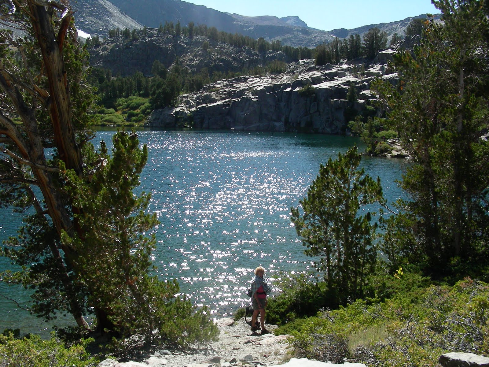
Today was the day!  We did a bit of internet searching last night to check local tides and possible put-in sites for a trip on an inland lake north of Crescent City.  On Google Maps, the two lakes looked accessible but sometimes it’s hard to find a launch site where there is a lot of private land surrounding the lake or where there are wildlife refuges.  Lake Talawa and Lake Earl have both. 

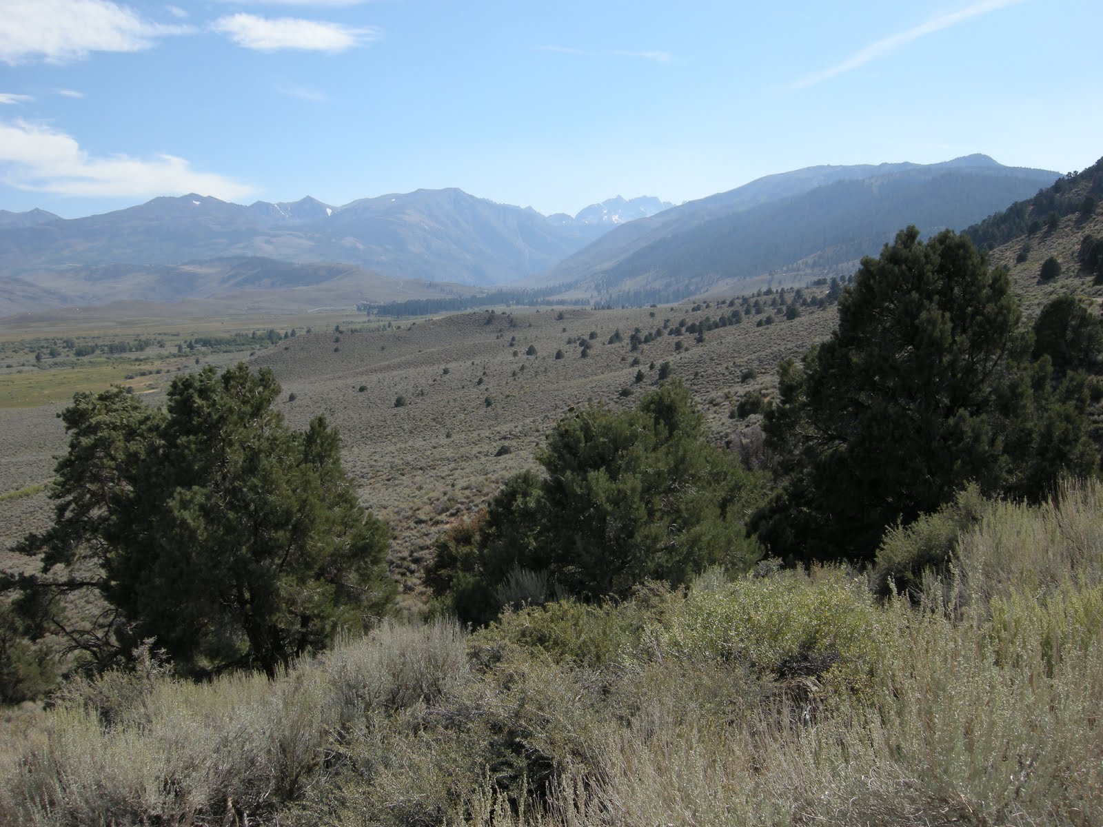
I found an old website for a kayaking group that is no longer active, but they decided to keep the site up so people could use the information.  I’m sure glad they did!  We drove north around Earl Lake wandering off towards the west until we came to an extensive area of old roads that weren’t maintained any longer.  According to the web site, there was a subdivision planned here that never made it.  The roads were cracked and full of potholes, and as we approached the lake it was apparent that we were the only people around for miles. 

Lake Tawala-4 Another possible deterrent could be that the lake was too low and too muddy to launch there.  Instead, we found tules and sedges, with ground underfoot that was firm enough to support not only us, but the Tracker.  We parked just feet from the water and launched effortlessly.

With a new boat it is always a bit thrilling to try it for the first time.  This boat is so stable and comfortable there wasn’t a moment of wobble or concern. It felt great.  Surprisingly, the cockpit is really quite big and the boat is about as wide as my old boat.  The keel seems smoother, but Mo didn’t think they tracked any better than our old less expensive boats.  However, lifting them to the racks is the deciding factor here, not speed or agility.  We aren’t racers at all, and just want to get around easily, have a boat that tracks well, and is roomy and comfortable, and we can lift overhead without groaning.  Check on all counts!

Lake Tawala-8I it was still quite foggy, with only filtered sun coming through so the landscape all around us looked surreal.  I knew the lake shape from the phone  and could see where we were on the lake, but the distances and the changes in water levels made for some interesting moments.  Accompanying our paddle was the incredible sound of huge crashing surf just beyond the dunes.  With the fog it was hard to discern just where we were, and thinking we were at the dunes I checked on the iPhone to find we were still in the middle of the lake with some islands that didn’t show up on Google Earth. 

Lake Tawala-15 We paddled on to the ever increasing crash of the surf, and I wondered if the lake was perhaps breaching the dunes as it sometimes does when the water is high.  Suddenly we were surrounded by white floating sea foam that looked for all the world like small icebergs.  As we approached the beach we could see really huge waves that were breaking over the dunes and felt the surges of the incoming water.  The tide was supposed to be receding and this definitely wasn’t feeling like receding at all!  I read something on the weather page last night about a huge ocean swell that was coming this direction, with high surf warnings and waves to 25 feet.  Sure made me nervous to see that water cresting over the dunes toward me!  I turned and ran and Mo laughed at me, but we felt the swell again and didn’t have to paddle much at all to go back inland fairly quickly.

On the way back to our launch site we saw some otters playing, and a huge flock of snow geese flew overhead.  We saw a lot of blue and white herons along the marshy shores.  In the fog, everything looked much bigger and yet farther away than it actually was.  There was no way to get a feel for where we were at all.  I was really glad for the IPhone GPS and map, believe me!

BigSwell-1 Once back to the car, we loaded up effortlessly, excited about how easy our maiden voyage was.  We decided to go back toward Crescent City and explore the other side of the lakes toward the ocean along Pebble Beach Road.  Once we got there, we could see a lot of viewing activity along the headlands, with cars parked and people hiking out to high places and watching the surf.  Once we did the same we discovered why.  The waves were HUGE.  It is impossible to take any kind of photos that actually show the scale of these waves coming into the shore.  There are headlands and sea stacks in this vicinity that are at least 100 feet high and the waves were breaking completely over them.  The waves were at least 30 feet tall, and breaking very far out from shore.  There were all kinds of warnings out about staying away from the breakwater and not turning your back on the ocean, se we paid attention to all that and stayed up high. 

It was truly exciting. The power of the ocean is so huge, and sometimes with just normal waves it is easy to forget how she can be in a storm.  The part that was even more amazing is that there was no storm going on here at all, in fact there wasn’t even any wind.  What an exciting thing to see.  Mo lived on the ocean near Half Moon Bay for more than 30 years and I spent a considerable amount of time at the ocean as well.  Neither of us have ever seen waves like those we saw today.

As always, there are many more photos on my Picasa website for this day linked here.


Our new kayaks are delivered!

Home to Crescent City (13)  I was so impatient to get on the road today, that I could barely sit still.  We were supposed to meet the trucker delivering our boats at exit 33 in Medford between 11 to 12 AM, and Mo didn’t really want to get there too early and have to sit around waiting. The weather was perfect, in the high 40’s, no frost, and clear sunny skies.  Our pass to Medford over Highway 140 had some remnants of snow at the summit, but the pavement was bare and dry with hardly any traffic. 

The driver was tremendously accommodating and agreed to meet us in Medford by changing his route to I-5 instead of Highway 97 through Klamath Falls.  It was perfect timing for us.  We arrived in Medford to find him waiting patiently at the Pilot station,   having arrived at 6AM!.  He Home to Crescent City (9)delivers high end boats all over the country, and his rig was loaded up with 60 foot racing rowers and some kayaks made in China and Peru.  Our kayaks were bundled up in bubble wrap and plastic, and after many thank you’s and hand shaking, we transferred them to the baby car top rack, tied them down, and headed west. 

The biggest reason for buying new boats had to do with weight.  I couldn’t believe it when the driver and I hoisted that boat to the top of the rack.  I could have done it one handed!  Our older boats weighed about 49 pounds and the new ones top out at a featherweight 34 pounds of Kevlar-Fusion.  It is amazing what a difference 15 pounds can make!

Home to Crescent City (11)We continued our route north on I-5, grateful that we didn’t have to stay on that busy highway, and turned west at Grants Pass.  One thing about living in this part of Oregon is that there are just a few ways to the coast, and none of them really is a direct route.  Highway 199, west and south of Grants Pass meanders though the beautiful Illinois Valley, through Cave Junction and then along the magnificent Smith River to the coast.  Mo had a condo in Brookings for several years and we were used to driving this road, but I forgot how beautiful it can be.  The fall colors were magnificent with brilliant yellow and gold big leaf maples lighting up the dark green forest.  Here and there are some red trees, but most of the native trees are shades of brilliant yellow.  It isn’t east coast, of course, but it is still breathtaking.  We took turns driving so we each could enjoy the views.  Once we reached the Smith River the road narrows and follows the high gorge of the river.  “Road Narrows” is a big joke to us.  It’s a repeated refrain along this part of the coast.  On a very narrow winding road, that is already quite narrow, appear signs that say “Road Narrows”.  We are never quite sure how a paved major highway with two lanes can get more narrow!

HomeAtHiouchi (13)The distance from home to our first park was a measly 146 miles.  After our usual 300 mile plus days last trip, it felt as though we arrived almost too quickly. We are staying at the Hiouchi RV Resort in Hiouchi, California, about 10 miles east of Crescent City on Highway 199.  Just down the road is the magnificent Jedediah Smith State Park and the Stout Grove of giant redwoods.  The resort allows Camp Club USA discounts only in the months of October, November, April, and May, for seven nights maximum.  It is a really lovely park, especially here on the north end along the creek where it doesn’t feel anything at all like a typical park.  We have space and privacy, with our own little bubbling creek outside the door, a clean cement pad with a nice picnic table, big trees for shade, ferns and ivy for landscaping.  We have excellent WiFi, full TV cable service, water, electric and sewer for just fifteen bucks.  No taxes, no other fees.  I guess there is a bit of traffic noise from Highway 199 on the eastern edge of the park, but it’s not really obtrusive. 

Sligar_Swift_Adirondack 11-1-2010 2-01-38 PMWe arrived before 2 in the afternoon, and settled in to our site, made some snacks and opened a bottle of wine before taking the kayaks down and unwrapping them.  It was an exciting moment, marred just a little bit by a couple of flaws in my boat that I didn’t expect.  I immediately emailed the owner of Swift Kayak in Gravenhurst.  I have no idea what the result will be.  Hopefully the rim that is cracked slightly can be replaced, and he will let me know how to go about it. 

Once the boats were again loaded up on top of the Tracker, we headed in to Crescent City to find an old restaurant on the Citizen Dock where Mo had dinner with her brother and his wife.  She remembered it being at the end of a pier with lots of barking sea lions to accompany a decent fish supper. We drove all around the harbor, but the restaurant never appeared.  It turned out to be a good thing, though, because the place where we had dinner was fabulous.  The Northwest Inn is next to a motel and is a place we would have never stopped if we hadn’t read a little blurb in the RV Park map about the fabulous fish served there.

The restaurant isn’t pretentious at all, with a rustic, but comfortable decor and casual staff.  The fish, however, was fabulous.  Mo had fresh sole done up in butter and I had fresh snapper stuffed with crab and shrimp served over an amazingly well sauced pasta.  It was rich without being heavy at all, and the fish was fresh and sweet. 

The drive back to camp went quickly, in spite of the curves.  The road between Hiouchi and Crescent City curves through the thickly forested state park, with huge trees right next to the pavement.  It’s a beautiful road, and each time we pass through we are enthralled.

Day 3 Virginia Lakes Hike

Although we planned this east side trip for high desert and seeing Bodie, the Virginia Lakes hike was an unexpected surprise. Chris Savastio, one of my soil survey crew, had been here earlier in the summer and kept insisting that I should see it. We decided to spend our third day on the east side of the mountains exploring these lakes.

I have so many photos of this lovely chain of hanging valley lakes that it’s hard to choose, so just check out the link to see all of it. The hike was just challenging enough to be fun, and I was hoping that I wouldn’t have a problem with the elevation, and think that our two days of camping at 7,000 feet helped a bit. I made it to the 11,100 foot pass without any problems. Abby had her fill of swimming in each lake and some of the highest ponds, the winds weren’t unbearable, and of course, the views from the pass were breathtaking.

The hike was only 6 miles or so, round trip, but we spent most of the day on the trail and were happy to get back home to our camp and the last evening campfire supper. Our last night out before returning home saw the temperature drop to 34 degrees, and in the morning the heater felt very good and the generator was a good thing to have!

Mo took down the solar panel, we buttoned up the MoHo is short order and waved bye to each other as she headed back north to Klamath and I followed the gorgeous Sonora Pass back to Jamestown. Truly a perfect weekend with just a little bit of everything wonderful

Day 2 home to Twin Lakes

After traveling through the desert all day, it was wonderful to return to our private camp, rest a bit, and then take Abby up to the lakes again for a swim. We saw people fishing and walking or biking with great strings of very large trout, so it must be a good fishing lake. There are actually two lakes, with the lower Twin being a bit more private and accessible through the back way along the east side, and the upper lake has steeper banks with the Twin Lakes Resort on the southern end. The water was crystal clear and just a bit chilly, but Abby didn’t mind at all. I only made it in up to my thighs!


Ended the evening with some writing time and a wonderful campfire supper of zuchinni with onions and garlic, a fresh salad, and t-bone steaks, which of course were a hit with Abby as well. Once again, no bugs! Amazing. While I was sitting at the picnic table writing this post, Mo looked up from the fire she was tending and said, “How could anyone ask for anything better than this??” We both decided this was one of the most relaxed and restful sites we have camped in to date.

Just for fun, click here to see a video of Abby enjoying swimming at Twin Lakes.

Day 2 Visiting Bodie


Photos of Bodie are here:

Deciding on an early breakfast of coffee and little powdered sugar baby donuts, we planned an early start for our adventure to Bodie. We gassed up in Bridgeport, at 3.99 per gallon for regular gas, in the midst of motorcycle rallies, a big rodeo, art shows on the courthouse lawn, and general busy-ness. Once we left Bridgeport, however, things quieted down again, even on 395. The road to Bodie from the highway is only 13 miles, 10 of it paved, and was a bit curvy but not a problem at all.

We have often traveled past the HWY 270 sign to Bodie, thinking we should go there, and for one reason or another never made it. Initially we thought we might boondock along this road, after receiving some correspondence from the BLM saying it was ok to do so. But even though there were some possible wide places in the road, it still is much less private and at this time of year we wouldn’t be able to have a fire in the evening, which we can do back at our forest service campground.

Bodie was wonderful, and a bit sad. I first saw this piece of old western history in 1971 when my children were small, and there were no people around then, and no fees. Today it costs 5 bucks per person to enter the park, with an extra 2 bucks for a really nice self guided tour book, well worth the price. We wandered the town with lots of other people, marveling at the history, and the fact that Main Street was once a mile long bordered on both sides by buildings, bars, hotels, and restaurants.

I haven’t included any more photos of the town because they are all so interesting that it is impossible to choose particular photos that really catch the feeling of the place. At one time Bodie boasted 10,000 people and 68 bars. The state of California has managed to preserve things as they were left when the town finally gave up in the 1930’s in a way that doesn’t detract from the originality and mood of what it must have been like to live there. Even so, Bodie is now one of the State Parks of California scheduled to close because of California’s budget woes. It would be a truly sad thing to lose this place to vandals and such because of the state’s management by crisis and focus on so many things of less importance than maintaining some of our history. There is no other ghost town that I know of in the west that is quite like this one.

Rumor was going around that the state also planned to sell off the artifacts on EBay to make money. Reading about the “Bodie Curse” befalling anyone who took even a rock or a plant from the place makes me wonder what would happen to those buying artifacts from Bodie!

We left the busy parking lot and dusty road to return to Bridgeport following the back way through the Bodie hills, with views of the Sierra’s and the desert of Nevada to the west. Found a great little spot near a spring for a picnic lunch, where once more my trusty sleeping bag served us well, providing nice comfort on the hard ground. Abby loved it. We then wound down Aurora Canyon back into Bridgeport.

Tracking another backway, we took the Buckeye road from just west of Bridgeport along the base of the mountains with fabulous views of the Bridgeport Valley. This valley is one of the most extensive wetland valleys I have seen outside of Klamath, and there were literally thousands of cattle grazing on the lush grass.

We got another perspective of the valley by taking the Buckeye road south from 395 into Twin Lakes area. Beautiful! The Buckeye campground is back from this dirt access road another mile or so and can be a bit rough. We probably wouldn’t want to take the MoHo there, but did see some bigger rigs camped, and even some empty spaces available on this Holiday weekend Saturday. In addition, at the crossroads on Buckeye road is the Buckeye spring, which was filled with people the day we passed so we chose not to go there. It is a “clothing optional” spring on the side of the hills above the creek. I plan to check it out someday, but probably not on a weekend!

Backway photos are here: