![]() North Umpqua Waterfalls Photos
North Umpqua Waterfalls Photos
There are 24 waterfalls listed on the Umpqua National Forest and the Roseburg District of the Bureau of Land Management. We planned this day to see as many as we could along the stretch of the Umpqua Scenic Highway near our camp. I was impressed with the information published by the FS and BLM available at the campgrounds, and they made our day hunting down waterfalls a delight. All are downloadable in PDF format as well. (Umpqua National Forest) I especialy enjoyed the diagrams and descriptions of the different kinds of waterfalls, and how they are formed.
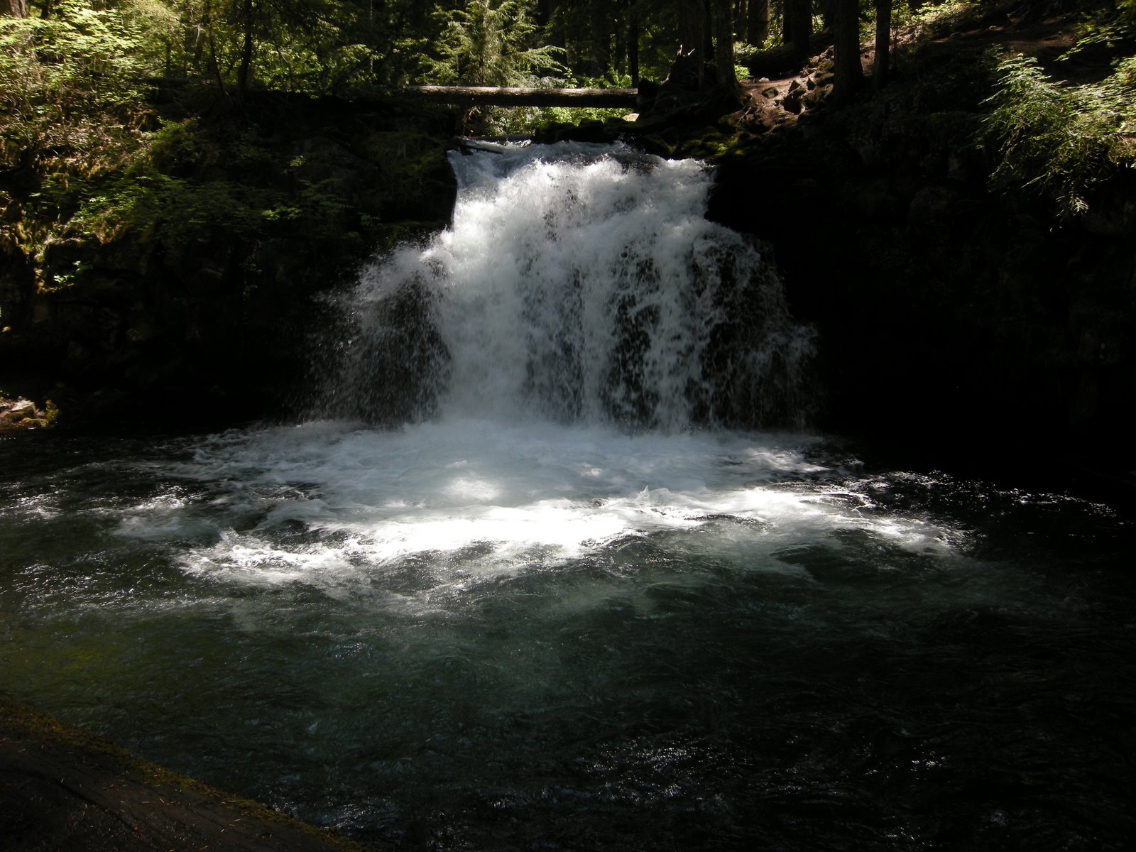
Traveling east on HWY 138 almost to Diamond Lake, the first waterfall we saw was Clearwater Falls. Just a short walk from the parking lot, the falls rumbles and tumbles over dark green moss covered stones. The rhododendrons were still blooming and the mist was cool and refreshing. Hiking to the top of the falls revealed a calm quiet pool above where Abby could swim but the water was very cold.
 Whitehorse Falls was also right near the road and an easy walk from the view point parking lot. It is called Deadhorse falls on the quad sheet, so I am not sure about the name change, but that happens often lately, especially in areas that are significant to local tribes.
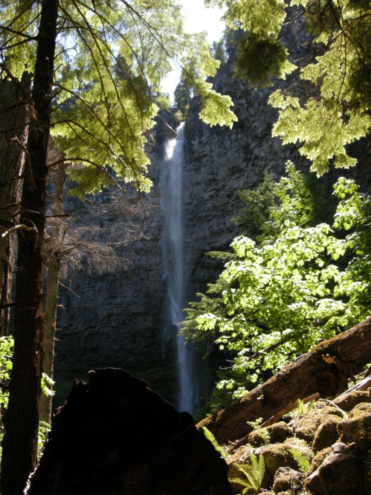 At milepost 60.5 is the trailhead to Watson Falls, the highest in southwest Oregon. The half mile hike is a well maintained trail with switchbacks and some steep areas, but still quite moderate. The fall itself it tall, thin at this time of year, and delicate, quite lovely. Again, the surrounding forest was filled with blooming rhododendrons. We met a couple from Colorado, including a very elderly lady who hiked the entire trail with her cane. She was very determined and we were very impressed. What a trooper. Her husband said that on their trip to Washington she wanted to see only two things, Crater Lake and Tokeete Falls. They told us that Tokeete Falls was closed due to winter damage, so they hiked this one instead. The winter damage was from the winter of 2007, not even last year, but the forest hasn’t had the money to repair the trail so it is now inaccessible. Tokeete Falls is supposed to be the most impressive and beautiful fall on the tour. I hope to see it someday.
We drove downriver to the Steamboat Creek turn and then up 5 miles or so to Steamboat Falls. Another fall that is right at the road in the campground, and this one was full of people having fun and swimming, as well as playing in the rushing water. Little Falls, farther down along Steamboat Creek was bus y as well, with several carloads of young people at the wide place
 in the road overlooking the falls. Neither of them seemed particularly impressive, but it did look like it would be fun to play in if you didn’t mind being there with all those people.
Time for lunch and a stop in to the camp to check on the cats, make sure the fantastic fan was doing it’s thing, and that the batteries were still well charged, and have some lunch. Even with the 90 plus degree temperatures, the MoHo was cool inside and the kitties were comfortable. Mo set up the solar panel, and even in the shade it kept things charged enough that we never ran out of power while using the fan all day.
 We headed west to the Susan Creek Falls trailhead, where there were several cars parked for the 1 mile hike to the falls. It seems this is a particularly popular hike, with families and kids and people of all sorts coming and going. We noticed signs saying to be watchful of your valuables so Mo made sure her wallet was in her pocket and not in the car. The hike was great, actually made for wheelchair access, so broad and wide and protected from the poison oak. Abby enjoyed it.
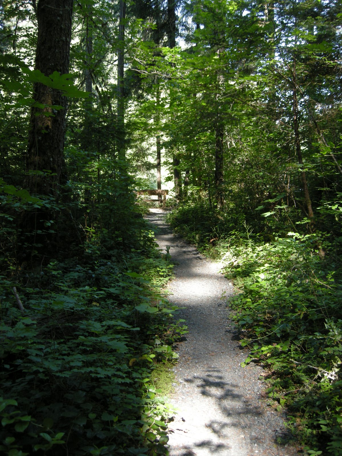
Finally, late in the afternoon, with the sun hidden behind the canyon walls, we hiked up Fern Creek to the falls. Another mile or so to these lovely falls, through some very narrow rock crevasses, past pools and boulders. The late afternoon light made the old growth forest even more mysterious and the falls were misty and beautiful. I especially enjoyed the approach to the falls, where some of the water can be seen through the trees, the sounds get stronger, and then suddenly there they are. It seemed later than it was in the dark canyon, and it was cool and dim and a wonderful place to be on a hot day.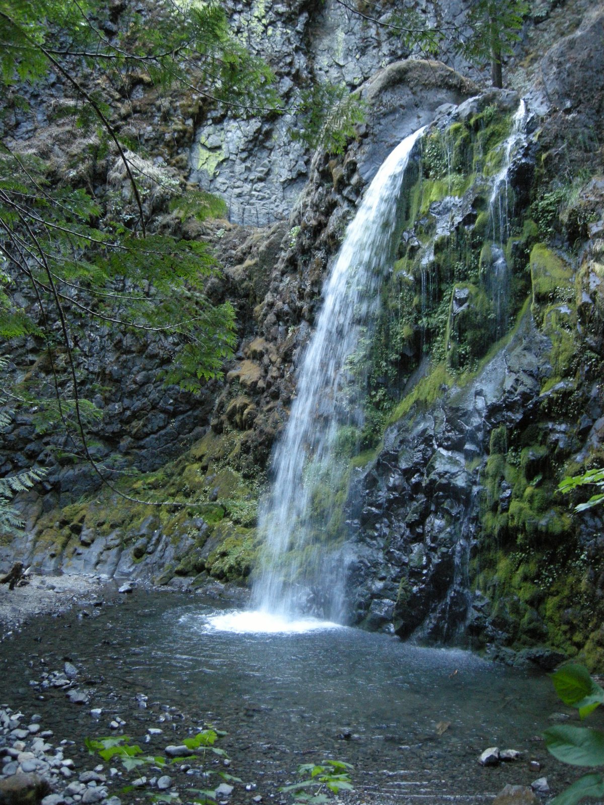
Once back to the car, we realized that it really wasn’t that late, but were still glad to be headed back to camp. We only hiked a total of 5 miles or so, but were still tired and ready to settle in for the evening. Someday I hope to see Tokeete falls, and to drive the other roads to find the rest of the falls that are in the Thundering Waters brochure.